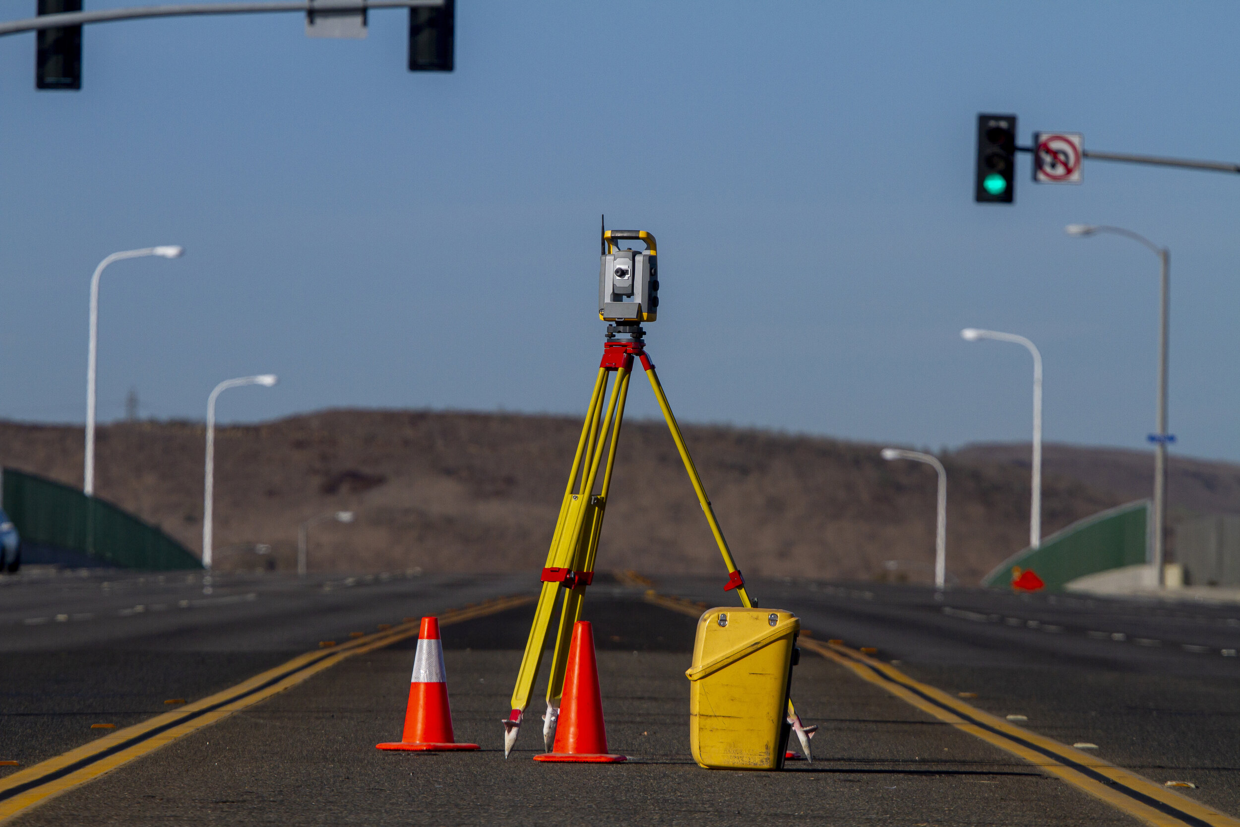
Topographic Surveys
Topographic Surveys locate topographic features such as utilities, roads, watercourses, ditches, embankments, and contours as well as other improvements. They often utilize aerial photography as well as field methods of surveying. All natural and man-made features are located and detailed on the resulting map.

